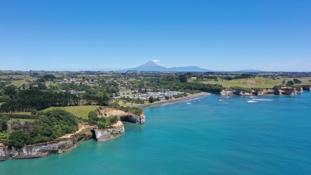
This collection shares mahere (maps, charts) and rohe (areas) that are significant to the Ngāti Mutunga iwi in Taranaki, Aotearoa.
Explore Ngāti Mutunga whenua, whakapapa and pūrakau through interactive digital maps and 3D landscape.
Created to support you – our uri and whānau of Ngāti Mutunga, we hope this collection helps you engage with whenua wherever you are, strengthening your confidence and ability to connect.